Key Geographic Details
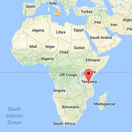
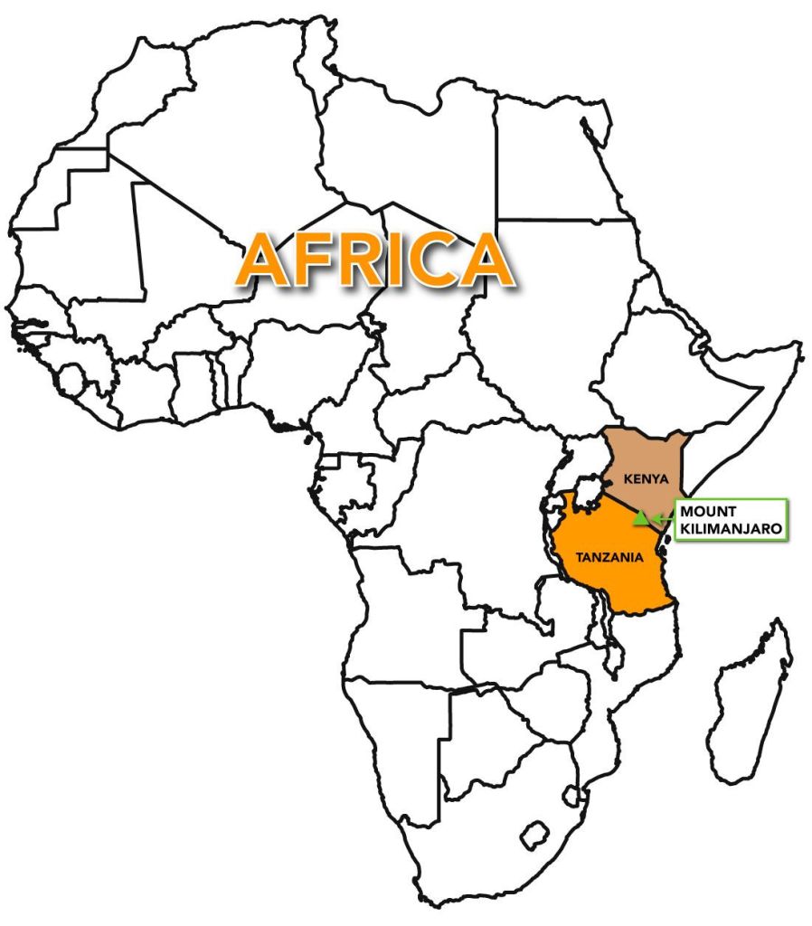
- Proximity to Borders: It is situated right on the border between Tanzania and Kenya. While the entire mountain is in Tanzania, it is famously visible from Kenya’s Amboseli National Park.
- Coordinates: 3°04′33″S 37°21′12″E.
- Distance to Major Cities:
- Moshi, Tanzania: Located at the southern foot of the mountain, it is the primary base for climbers.
- Arusha, Tanzania: Approximately 80 km (50 miles) to the southwest.
- Nairobi, Kenya: About 225 km (140 miles) to the north.
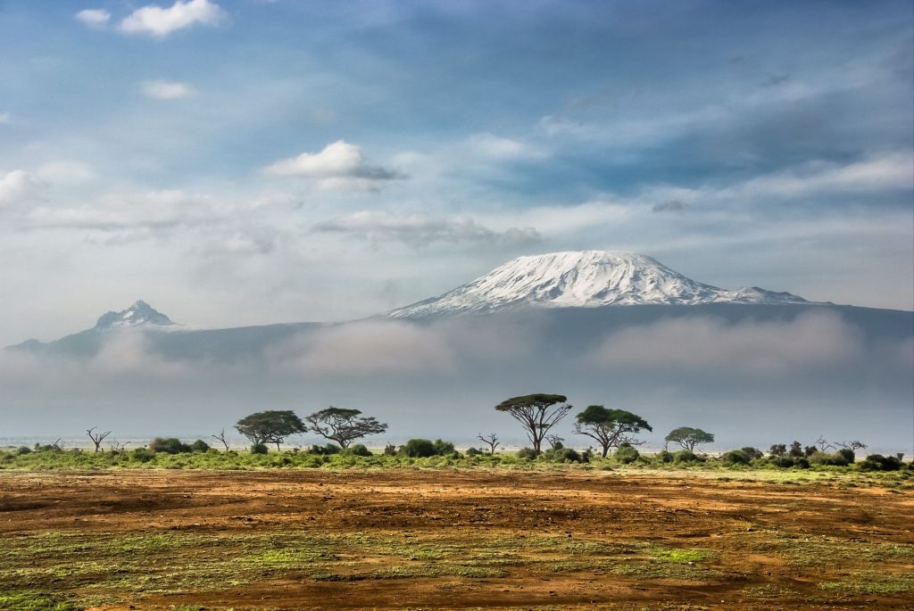
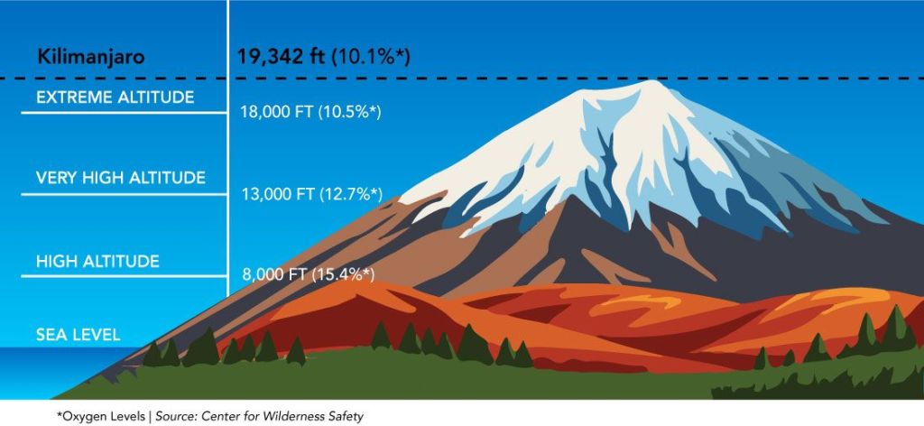
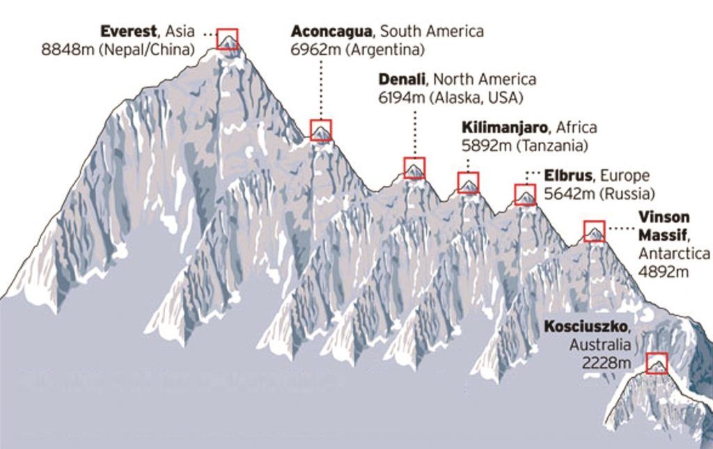
- Elevation: It stands 5,895 metres (19,341 feet) above sea level, making it the highest peak in Africa.
- Tectonic Setting: It lies approximately 160 km (100 miles) east of the East African Rift System.
Climbing Mount Kilimanjaro is a journey through five distinct climate zones, and your experience depends heavily on matching your timeline with the mountain’s seasonal rhythms. About 50,000 visitors attempt the summit annually.
Seasonal Visitor & Weather Timeline
The mountain follows a predictable cycle of dry and rainy seasons.
- Long Dry Season (June – October): This is the peak visitor period due to the most stable weather and clear skies. July and August are particularly busy, coinciding with Northern Hemisphere holidays.
- Short Dry Season (January – March): A popular window with high footfall but slightly quieter than the June–October peak. January and February are often cited as the best months for clear views and warm daytime temperatures.
- Shoulder Seasons (March, June, October, November): These transition months offer a balance of moderate crowds and manageable weather. November brings the “short rains,” but trails are significantly emptier.
- Rainy Seasons (April – May): The lowest visitor numbers occur during the “long rains”. Trails can be muddy and treacherous, making this suitable only for experienced trekkers seeking absolute solitude.
Geological and Ancient History
Kilimanjaro was formed by volcanic activity along the East African Rift.
- 2.5 Million Years Ago: Volcanic activity begins at the Shira centre.
- 1 Million Years Ago: Eruptions begin at the Mawenzi and Kibo cones.
- 360,000 Years Ago: The last major eruption occurred.
- 150,000–200,000 Years Ago: Final volcanic activity at Kibo created the current summit crater.
- 1000 BC: Evidence of human cultures on the slopes found via stone tools.
- 150 AD: Ptolemy of Alexandria makes early references to “lands” near the mountain.
Exploration and Climbing Milestones
The late 19th century marked the beginning of recorded ascents and scientific study.
- 1889: Hans Meyer and Ludwig Purtscheller become the first recorded people to reach the summit (Uhuru Peak) on 6 October.
- 1909: Gertrude Benham of London reaches the summit alone.
- 1926: Pastor Richard Reusch discovers a dead leopard on the crater rim, a finding later immortalised in literature.
- 1957: The volcano is officially declared dormant.
- 1961: Tanganyika gains independence; a torch is placed on the summit, and the peak is renamed Uhuru (“Freedom”).
- 2020s: Tourism reaches over 35,000–50,000 climbers per year, with various routes established for different skill levels.
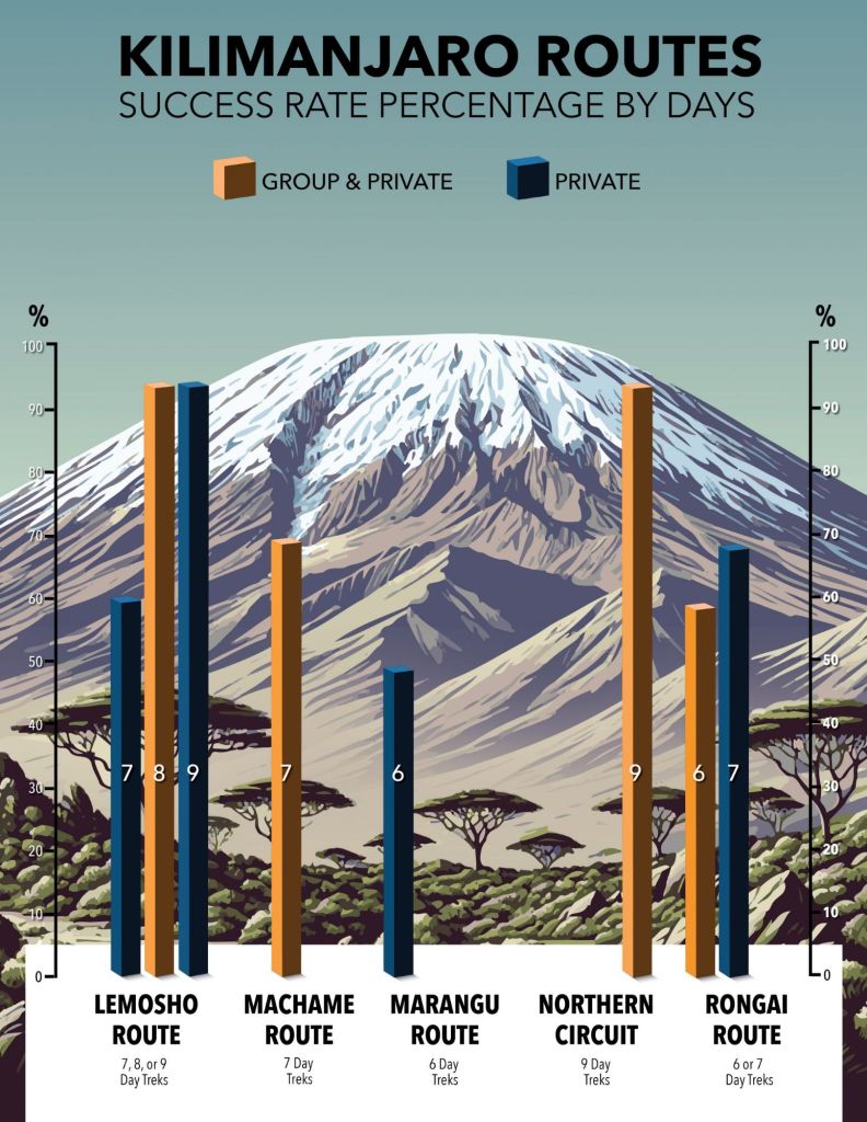
Typical Modern Trekking Timelines
Climbs generally take 5 to 9 days depending on the route chosen to ensure proper acclimatisation.
Route Typical Duration Characteristics
Marangu 5–6 Days The “Coca-Cola” route; sleep in huts.
Machame 6–7 Days Most popular; scenic “Whiskey” route.
Lemosho 7–8 Days High success rate; beautiful scenery.
Northern Circuit 9 Days Longest route; highest summit success rate.
Standard Daily Expedition Routine
A typical day on the mountain follows a strict rhythm to manage fatigue and altitude:
- 06:00 – 07:00: Wake up and breakfast at camp.
- 08:00: Begin the day’s trek (typically 4–7 hours of walking).
- 13:00: Hot lunch followed by further trekking or rest.
- 17:00: Reach next camp; “hike high, sleep low” acclimatisation walks.
- 23:00 – 00:00 (Summit Night): Final ascent begins in the dark to reach the peak by sunrise.